Illustrated Map for DINPI National Park
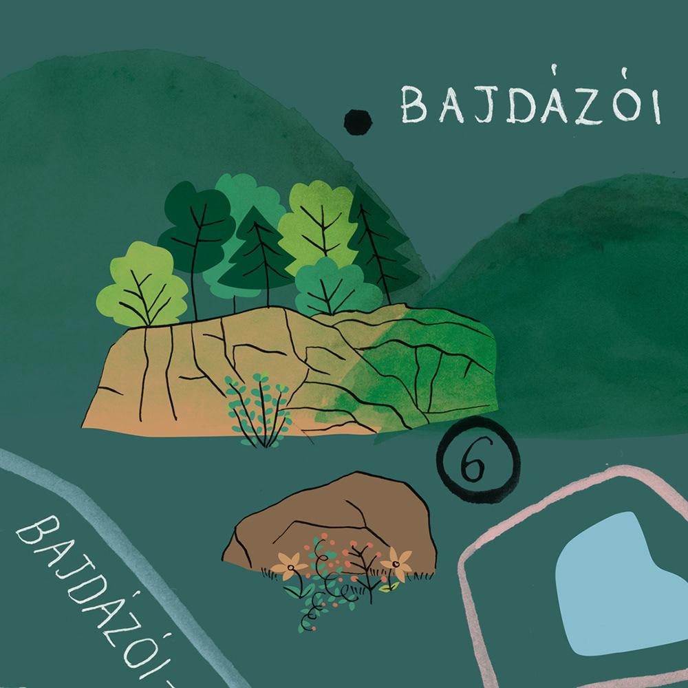
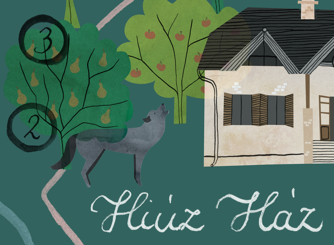
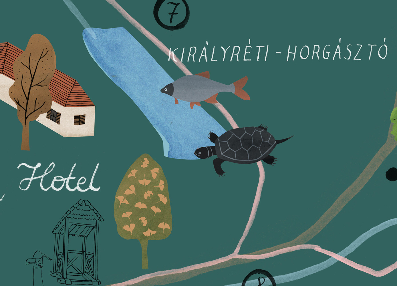
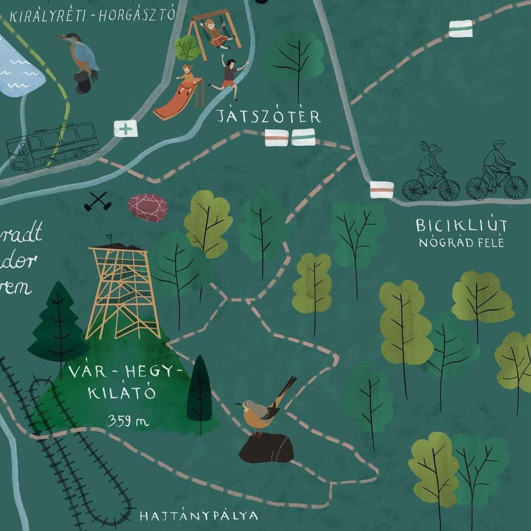
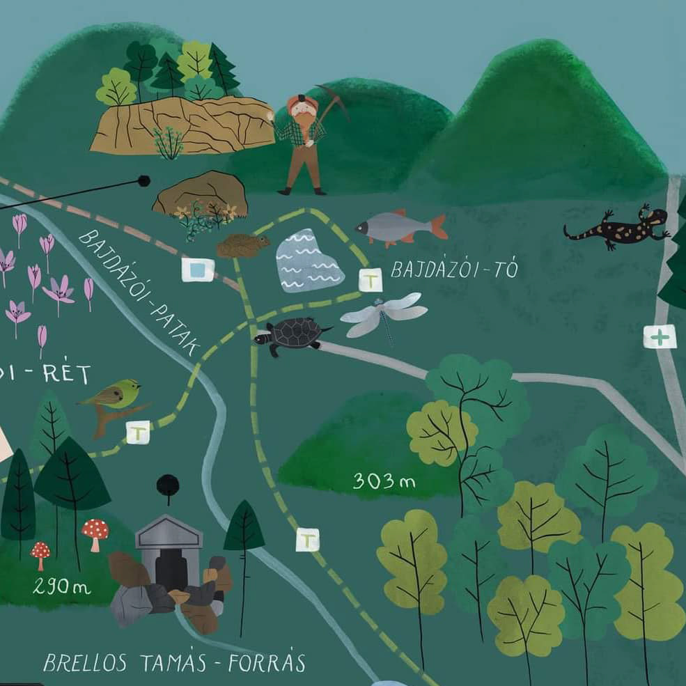
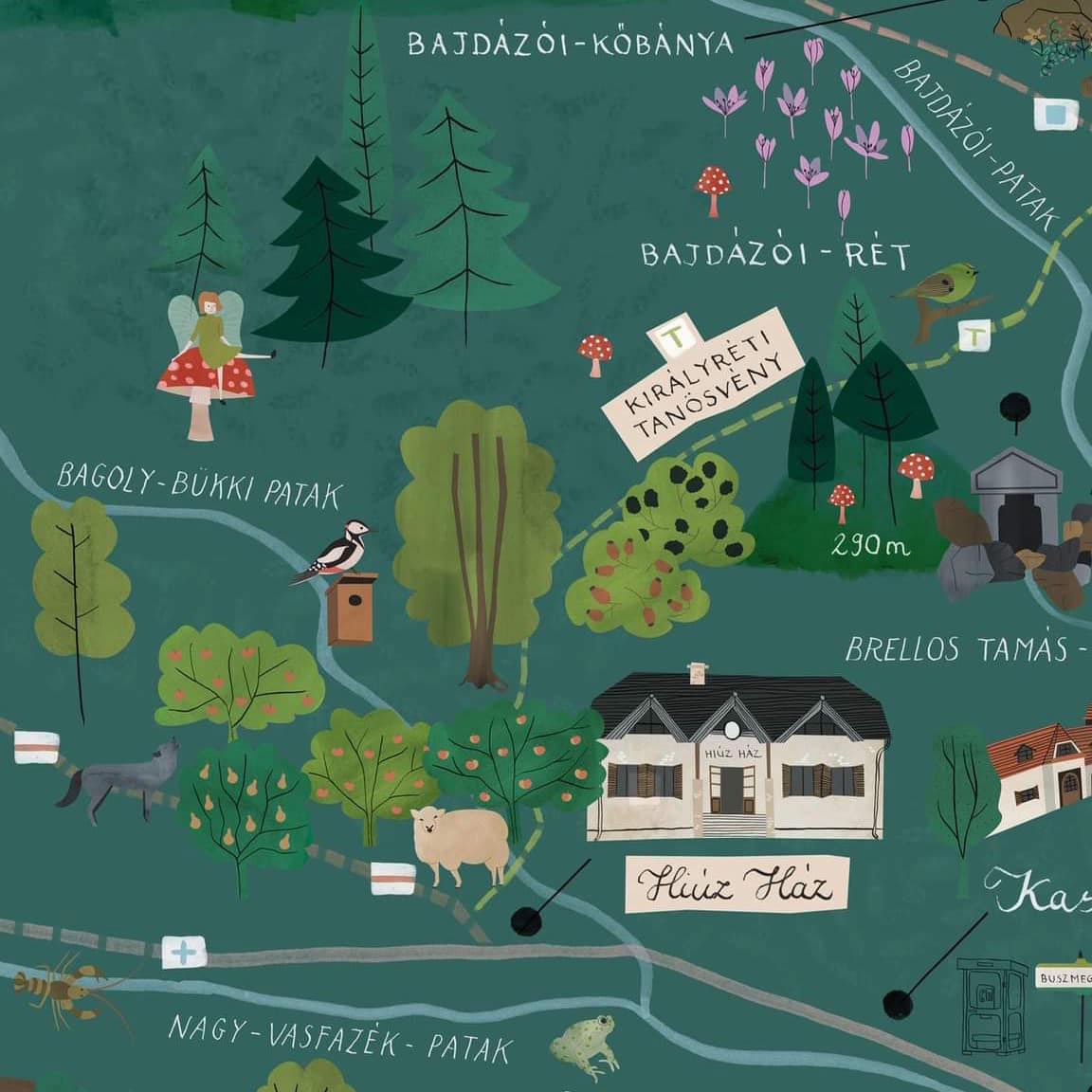
Created a detailed and whimsical illustrated map for the Hungarian Danube-Ipoly National Park, blending charming visuals with practical functionality. The map was designed to highlight landmarks, trails, and natural features, appealing to both children and adults.
The client wanted a map that captured the park’s fairy-tale-like essence while serving
as a navigational tool for visitors. My approach involved hand-drawn sketches, careful research
of the park’s layout, and digital rendering to ensure accuracy and aesthetic appeal.
as a navigational tool for visitors. My approach involved hand-drawn sketches, careful research
of the park’s layout, and digital rendering to ensure accuracy and aesthetic appeal.
Client: Danube-Ipoly National Park
